
GEOSCREENING / Services
Geophysics
From magnetic survey lines to subsurface models. Processing, inversion and monitoring.
Magnetometry
Preserve the signal. Understand the survey.
02Ground-penetrating radar
From radar traces to coherent subsurface images.
03ERT processing
Resistivity models with a traceable processing history.
04ERT monitoring
Observe the subsurface.Understand what changes.
05Earth resistance
Consistent resistance maps from carefully checked survey grids.
06Electromagnetic induction
Make multiple channels work as a coherent dataset.
07Marine geophysics
Consistent magnetic data along the survey line.
08Integrated geophysics
Different measurements.A shared spatial understanding.
Integrated geophysics
Connect surface
and subsurface.
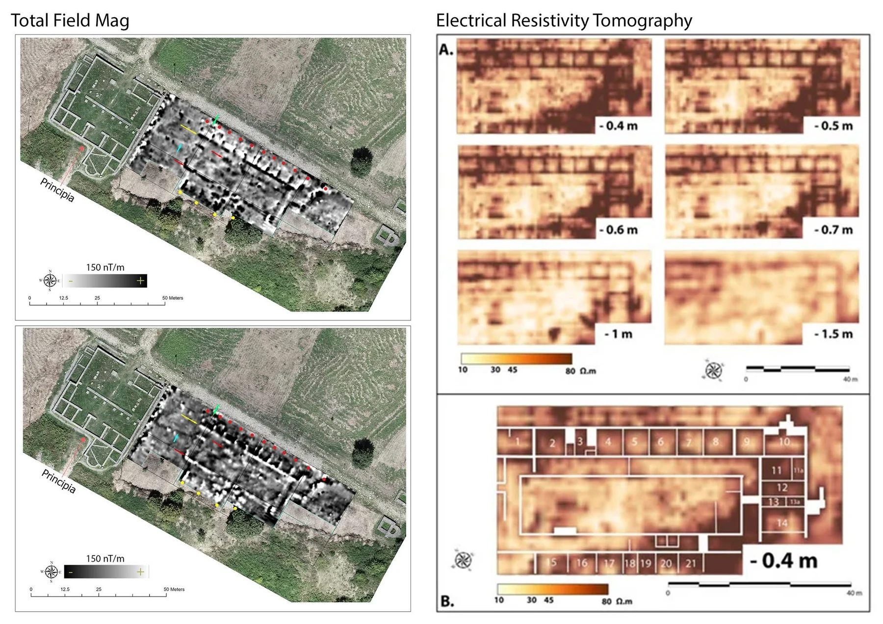
Combine complementary measurements in a consistent spatial context. Processing and interpretation remain explicit, method by method.
HOW WE WORK
Reliable outputs
Quality-controlled processing and clearly specified technical outputs.
Specialist understanding
Processing plus specialist analysis or interpretation, with scope agreed in advance.
A tailored workflow
A tailored scientific or technical workflow for a question that needs more.