
Spatial data, made consistent
Format conversion, CRS transformation, cleaning, georeferencing and vectorisation. We check geometry, metadata and spatial alignment before combining datasets.
GEOSCREENING / Services
Spatial analysis, terrain derivatives and cartography. Data that fit their geographical context.
Scope & deliverables
Reliable spatial work begins with coordinates, scale and data quality. We prepare, analyse and present information so it can be used in your GIS and your decisions.
Format conversion, CRS transformation, cleaning, georeferencing and vectorisation. We check geometry, metadata and spatial alignment before combining datasets.
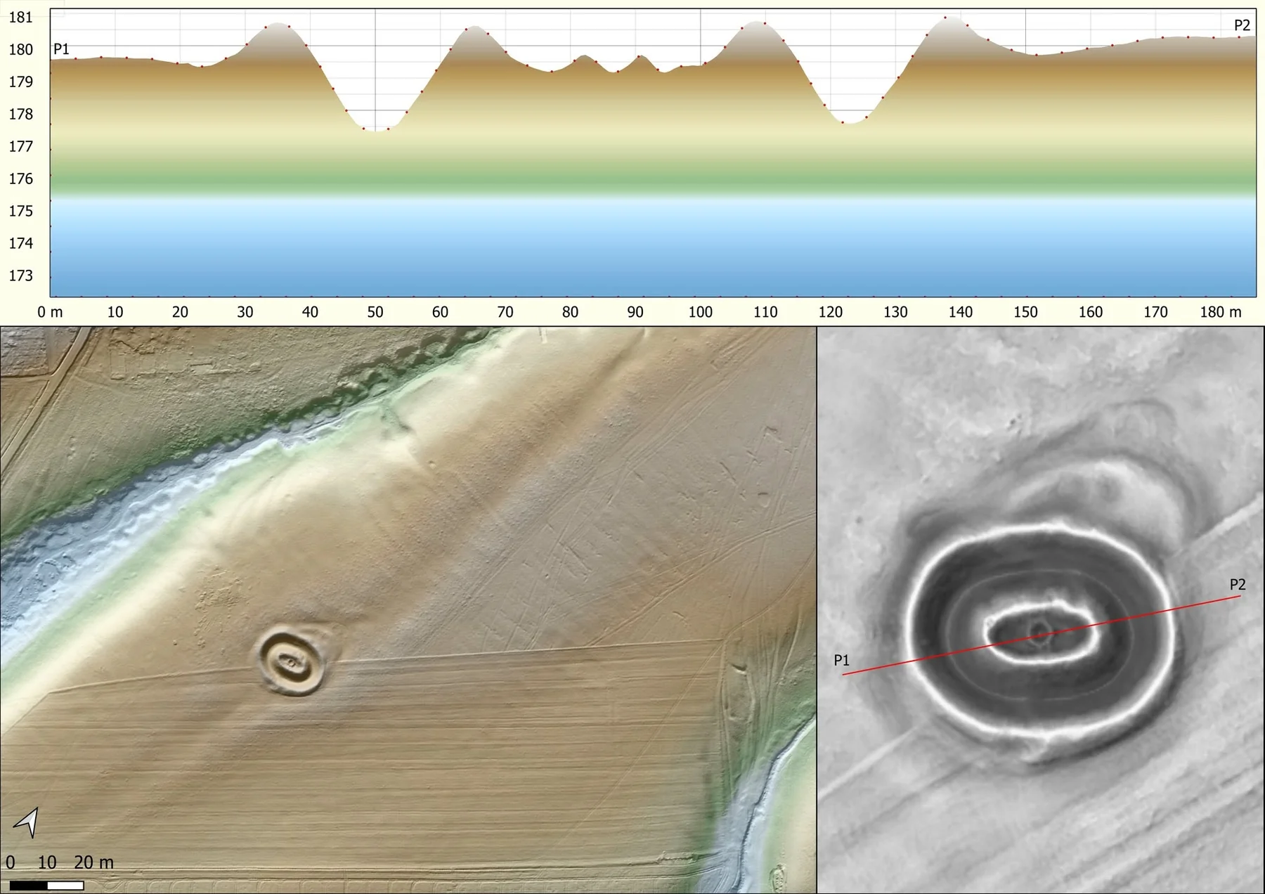
Terrain profiles, slope, aspect, curvature, roughness, TPI, TRI and landform classification. Derivatives are selected for the question, scale and resolution of the source model.
Flow direction and accumulation, catchments and drainage context; viewshed and visibility analysis with explicit observer, target and terrain assumptions.
Proximity, overlay, constraints and weighted suitability models. Criteria, weights and exclusions remain visible so results can be reviewed and revised.
Comparison of aligned elevation surfaces, cut / fill estimates, stockpile volumes and repeated change analysis. Datum, extent, resolution and uncertainty are checked before differencing.
Publication-quality maps, integrated geophysical / spatial layers and browser-based maps. Outputs are organised for GIS, reporting and practical review.
Romania terrain data
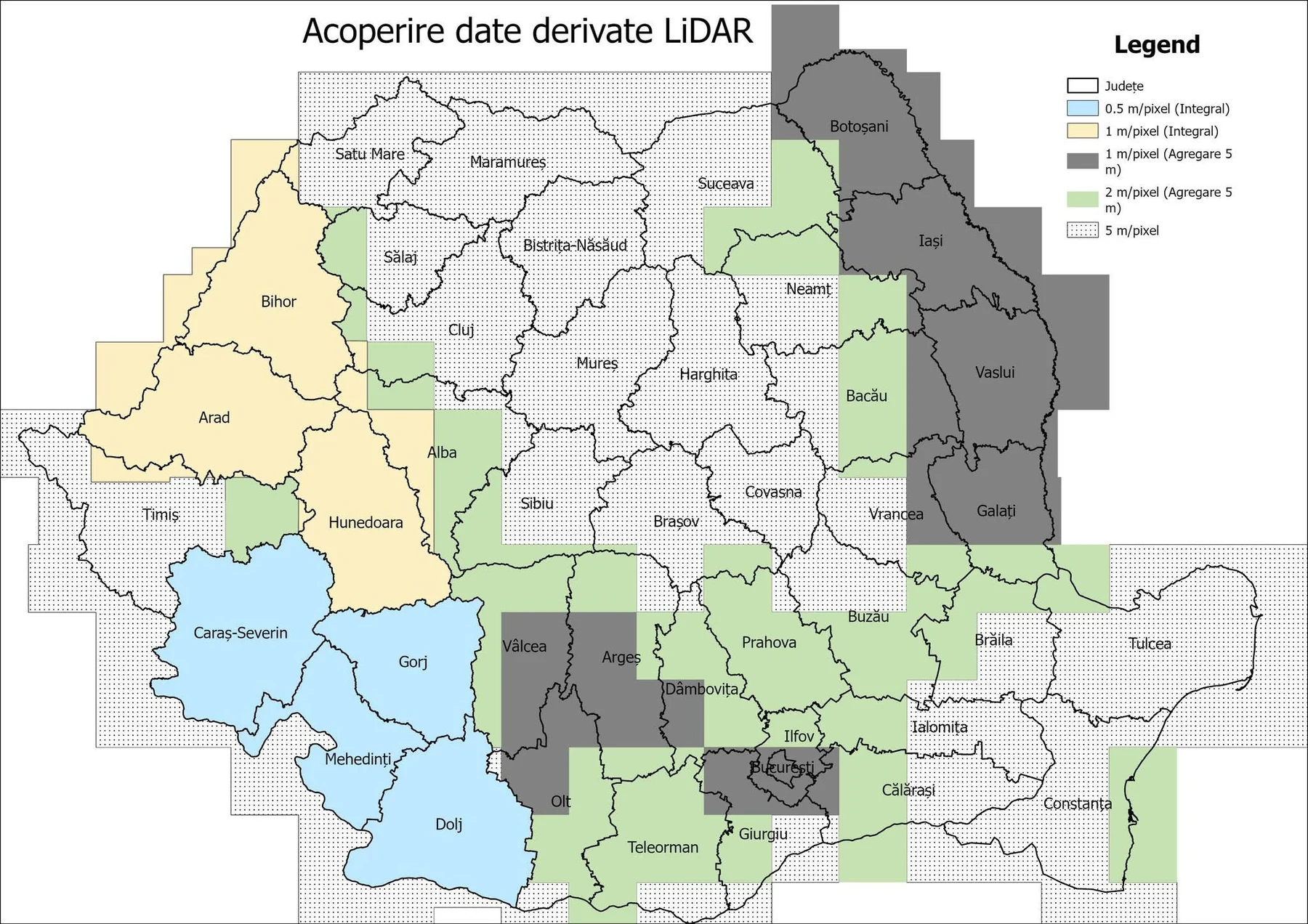
Free coverage discovery, with optional preparation, terrain derivatives and expert analysis.
Clear scope. Clear costs.
Prices exclude VAT where applicable. Final scope and price are agreed after reviewing your data.
| Dataset / scope | Indicative price |
|---|---|
| Standard GIS work | from €75/hour |
| Advanced scientific GIS / automation | from €95/hour |
| Indicative day rate | €550–650/day |
| Dataset / scope | Indicative price |
|---|---|
| File / format conversion | from €49 |
| CRS / transformation | from €49 |
| GIS cleaning | from €79 |
| Georeferencing | from €99 |
| Vectorisation | from €149 |
| Publication-quality map | from €149 |
| Dataset / scope | Indicative price |
|---|---|
| Spatial analysis | from €199 |
| Terrain analysis | from €199 |
| Viewshed | from €199 |
| Hydrological analysis | from €249 |
| Site suitability | from €299 |
| Change detection | from €299 |
| GIS automation | from €499 |
| WebGIS | from €799 |
| Custom spatial platform | On quotation |
| Dataset / scope | Indicative price |
|---|---|
| Terrain change | from €199/project |
| Single volume | from €79 |
| Multi-stockpile / site | from €199 |
| Repeated monitoring | Monthly quotation |
Multi-method integration and custom spatial platforms are quoted to scope. Component rates are subject to the minimum processing order.
Minimum order value is €149 for all services, including DTM download, preparation and processing. Listed component rates below this amount apply only when the total agreed order is at least €149. Priority processing +25%; urgent delivery under 48 hours +50%, subject to availability and agreed feasibility. Unstructured, damaged or undocumented data are quoted after inspection. Massive or very dense datasets require a quotation. Revisions beyond the agreed scope are charged at the agreed hourly rate.
Contact
A sample dataset. A technical question. A result you need.