
Imagery & preparation
Sentinel, Landsat and commercial imagery supplied or licensed by the client. Scene selection, cloud / shadow handling, spatial alignment and comparable dates are part of a defensible analysis.
GEOSCREENING / Services
Satellite imagery, environmental indices and change detection across space and time.
Scope & deliverables
From a single scene to a repeatable environmental workflow. Analysis connects spectral observations with the question, location and time period that matter.
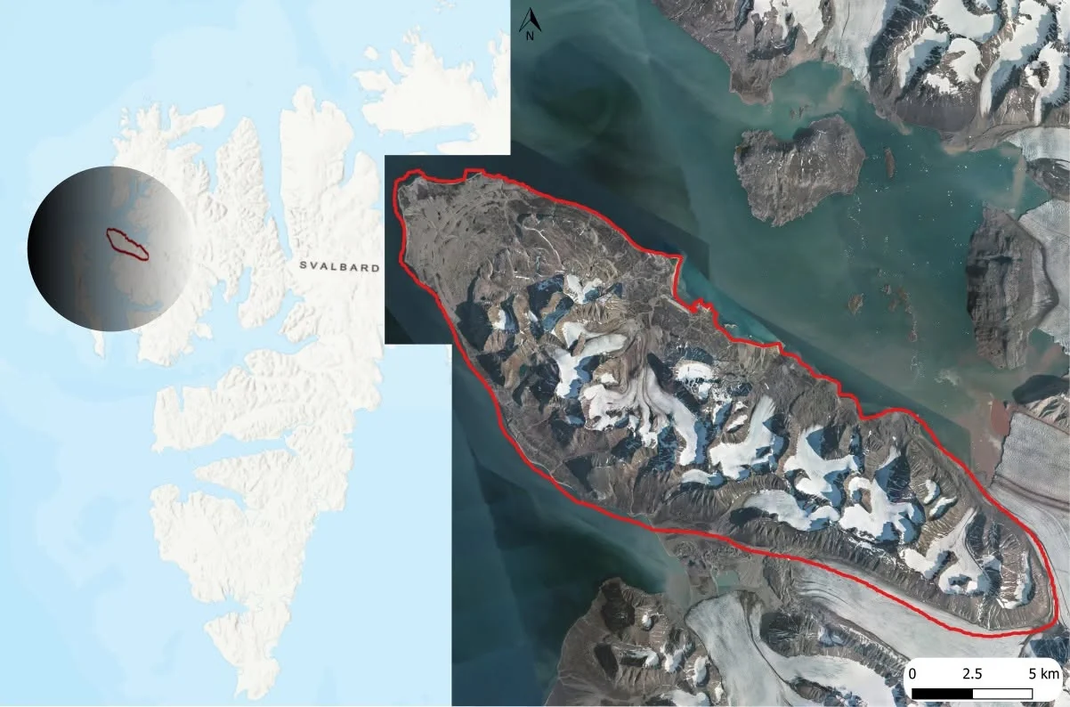
Sentinel, Landsat and commercial imagery supplied or licensed by the client. Scene selection, cloud / shadow handling, spatial alignment and comparable dates are part of a defensible analysis.
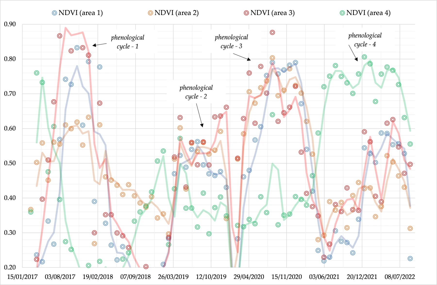
NDVI for vegetation, NDMI for moisture-related spectral response, NDWI for water-related analysis and NBR for burn-related change. Index variants and band choices are documented for the selected sensor.
Land-cover classification, vegetation and water analysis, fire / burn assessment, environmental monitoring and urban change. Training data, validation and seasonal differences are addressed in the agreed workflow.
GIS-ready rasters, classified maps, change layers, time-series plots and reproducible summaries. Recurring monitoring and custom remote-sensing workflows are available by agreement.
Clear scope. Clear costs.
Prices exclude VAT where applicable. Final scope and price are agreed after reviewing your data.
| Dataset / scope | Indicative price |
|---|---|
| ≤100 km² | from €149 |
| 100–500 km² | from €249 |
| 500–2,000 km² | from €399 |
| >2,000 km² | On quotation |
| Dataset / scope | Indicative price |
|---|---|
| Two-date change analysis | from €249 |
| Land-cover classification | from €399/project |
| Recurring monitoring | from €199/month |
Commercial imagery and licensing are not included unless explicitly quoted. Deliverable resolution and accuracy are constrained by the source imagery and available validation data.
Minimum order value is €149 for all services, including DTM download, preparation and processing. Listed component rates below this amount apply only when the total agreed order is at least €149. Priority processing +25%; urgent delivery under 48 hours +50%, subject to availability and agreed feasibility. Unstructured, damaged or undocumented data are quoted after inspection. Massive or very dense datasets require a quotation. Revisions beyond the agreed scope are charged at the agreed hourly rate.
Contact
A sample dataset. A technical question. A result you need.